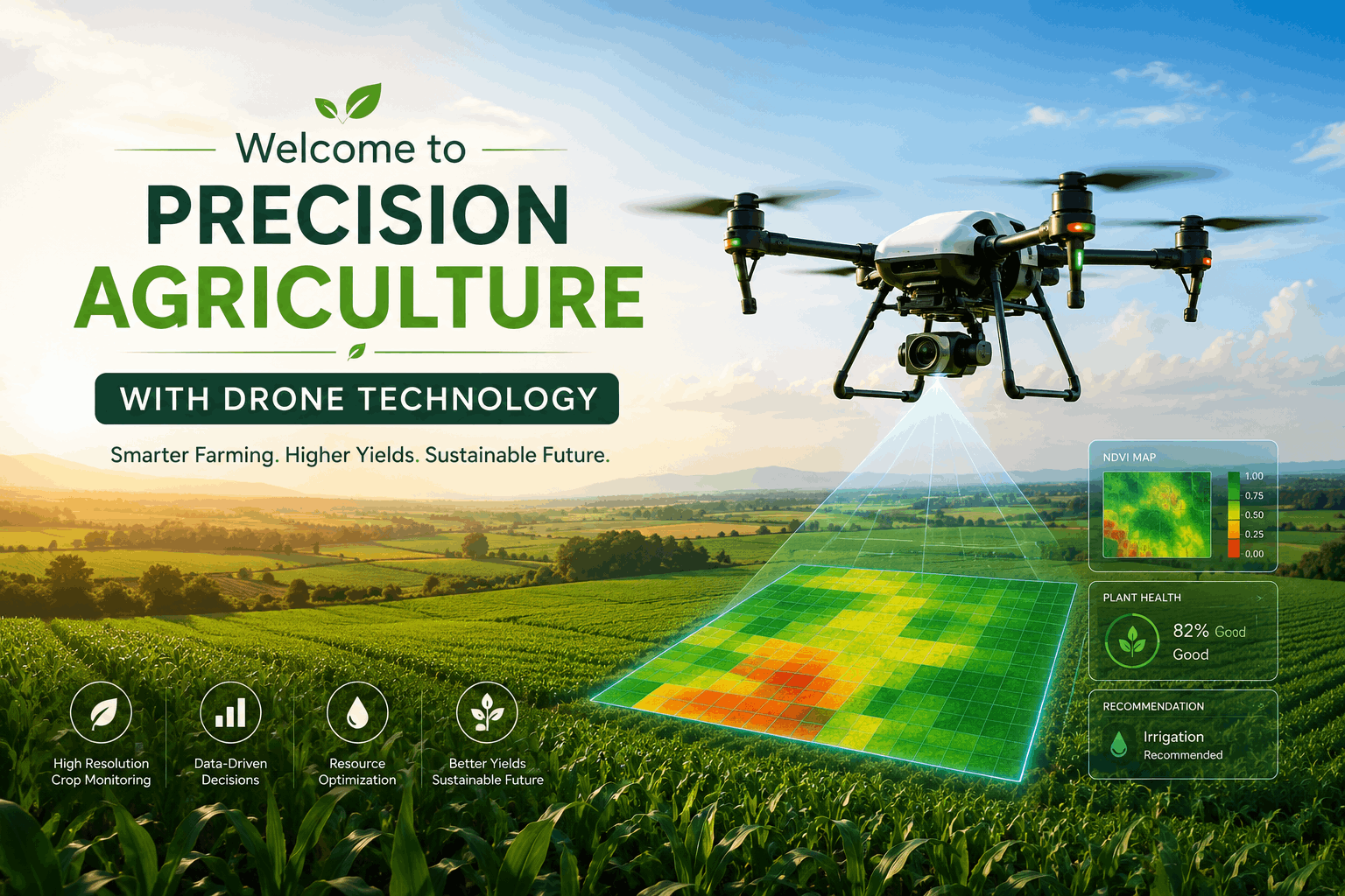
Bhatele Drone Services bring cutting-edge aerial technology to modern agriculture, enabling farmers to monitor crops, analyze field conditions, and perform precision operations efficiently. Our drones capture high-resolution images and real-time data to provide actionable insights across the entire farm.
From crop health monitoring to pesticide spraying and land mapping, our drone-based solutions reduce manual effort, increase accuracy, and enhance productivity while promoting sustainable farming practices.
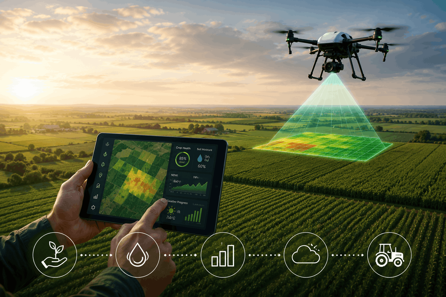
Captures high-resolution aerial images for crop analysis.
Identifies crop stress, disease, and growth patterns.
Ensures targeted pesticide and fertilizer application.
Creates accurate maps and terrain analysis of farmland.
Collects aerial data and integrates with analytics platforms.
Converts drone data into practical farming recommendations.
Leverage aerial intelligence to monitor crops, reduce costs, and make faster, data-driven decisions for improved agricultural productivity.