Shipment Tracking
About The Service

AI-Enabled Shipment Visibility Platform

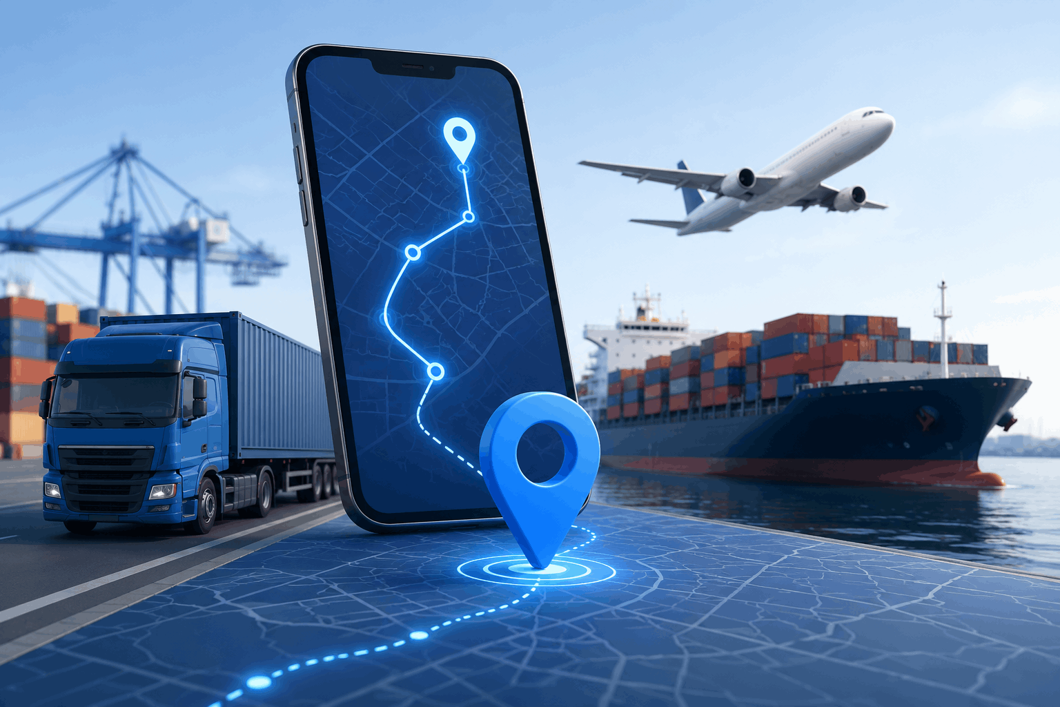
Bhatele Real-Time Shipment Tracking solution provides end-to-end visibility into shipment movement using GPS, IoT, and cloud technologies. Businesses can monitor location, status, and estimated delivery times with complete accuracy.

By leveraging real-time data and predictive insights, our platform ensures better coordination, reduces delays, and enhances operational efficiency across the entire supply chain.
Business Benefits

What Our Platform Does

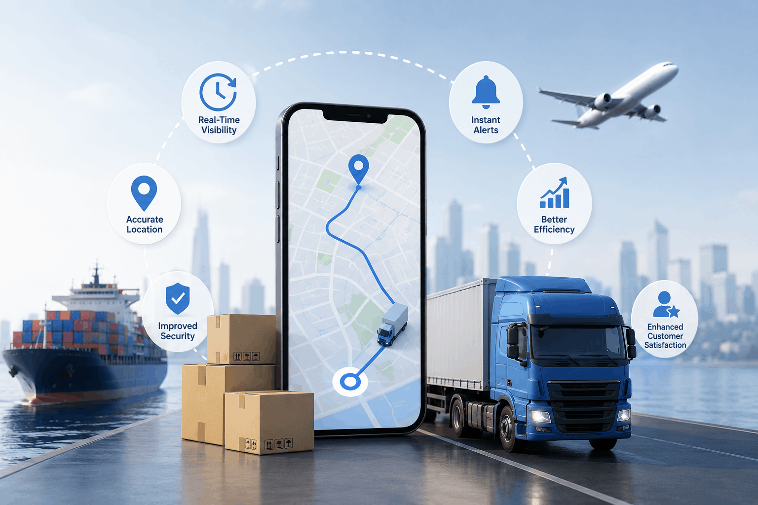
  • Track shipments in real time with GPS accuracy
  • Improve delivery transparency and customer trust
  • Reduce delays with proactive alerts
  • Enhance logistics coordination and planning
  • Increase operational efficiency across supply chain
Shipment Benefits
Core Solutions

Shipment Tracking Capabilities

Live Location Tracking

Monitor shipment location in real time.

  • GPS-enabled tracking
  • Continuous updates

Estimated Delivery Time (ETA)

Predict accurate delivery timelines.

  • AI-based ETA calculation
  • Delay prediction

Real-Time Alerts

Receive alerts for delays and exceptions.

  • Status notifications
  • Delay and route alerts

Route Visibility

View shipment routes and movement history.

  • Route tracking
  • Journey history

Shipment Status Updates

Track shipment stages and progress.

  • Pickup to delivery tracking
  • Status milestones

Analytics & Reporting

Analyze shipment performance data.

  • Delivery performance reports
  • Operational insights
Why Shipment Tracking

Full Visibility. Better Control.

Gain complete control over your logistics operations with real-time tracking, ensuring timely deliveries and improved customer satisfaction.

How It Works

From Shipment Data to Real-Time Visibility

Shipment Initialization

Shipment details are captured and registered.

GPS Tracking

Location data is captured continuously.

AI Processing

System predicts delays and optimizes routes.

Real-Time Updates

Users receive live updates and insights.

Why Drone Services

Faster Monitoring. Smarter Farming.

Leverage aerial intelligence to monitor crops, reduce costs, and make faster, data-driven decisions for improved agricultural productivity.